
The severe weather for early morning.
The mesoscale convective system (MCS) that was running around the outer periphery of the heat dome over the Midwest. Ended up, dropping down across New York State and down across eastern Pennsylvania and New Jersey in the early hours of Sunday. The MCS caused quite a bit of wind damage across parts of northern New York State down through central New York State There was even a confirmed high-end EF1 tornado with winds of 105 mph; that touched down near Clark Mills, NY. Sadly 3 people were killed in Clark Mills. The thunderstorm complex also dropped medium to large hail in some places. The storm deposited a lot of rain; some areas ended up seeing 4-6 inches of rain in one hour, which led to lots of flash flooding.

Severe weather Is always dangerous Especially night time severe storms Always have a way to to be warned approaching severe storms. Always take warnings seriously!
What about this week.
For the 1st half of this week it's going to be sunny, hot and humid. Remember, heat is the biggest killer of any type of weather. I grew up in the Texas Panhandle where it gets extremely hot in the summer. The Northeast isn't accustomed to a lot of hot weather The heat that's coming in is going to be dangerous and nothing to be scoffed at!


We have the Bermuda High that's going to continue to pump heat into our region. Starting today, The region is going to be dominated by this monster ridge that's gonna be sitting over the Northeast and Middle Atlantic.
As far as rain Under the dome we could have a chance for a few isolated showers and maybe a rogue thunderstorm but the vast majority of the region won't see any of that except sun and heat If you look up at the surface chart/radar You can see all the rain and storms rotating around that high pressure ridge/ heat dome.
The images shown above are only based on the GFS Other models are showing different temperatures But it gives a good general idea of what to expect. These temperatures could be getting hotter and what the model shows.

Both today and tomorrow we'll see high temperatures across the region in the upper 80s°F And through the 90s°F with some areas possibly seeing 100 Plus°F.
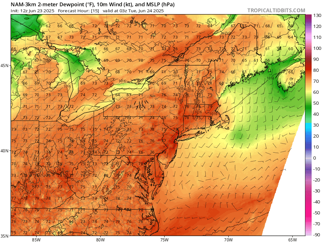
Dew points Are going to be in the 70s to possibly around 80s, for some. This is about as high as they can get for our region.

Image credit Pivotal weather
This will make for very high heat indexes. The region is going to see heat indexes run from 100-120°F. That is the feel like temperature So you want to take it seriously. The heat index is the air temperature and dew point added together.
Temperatures will start to back off on Wednesday, as the ridge drops a little south and west. But we're still gonna be dealing with this ridge where it will continue to influence our temperatures. It's going to start to breakdown as we get into the weekend So until then we will see above average temperatures for Wednesday Thursday and Friday.
As the ridge shifts we will reintroduce the chance for showers and thunderstorms Wednesday afternoon into Wednesday night, as a cold front approaches. The trough is going to enter out of Canada and move across our region. As storms rotate around that ridge/heat dome. Thunderstorms will likely be fairly isolated. Those with the greatest chance of seeing thunderstorms would be across the southern half of New York State Pennsylvania into the Middle Atlantic. But a few rain showers and even some thunderstorms would be possible across the rest of the region. Thursday we once again see rain showers and thunderstorms rotating around the ridge, as a trough sets up. Those with the greatest chance of seeing the scattered rain showers and thunderstorms Will be across New York State and Pennsylvania Into the Middle Atlantic. Elsewhere rain showers and thunderstorms would be more isolated.
Some of the storms On Wednesday and Thursday could be strong to severe. This will be especially true on Thursday as the cold front is moving through. The storms Wednesday night and on Thursday could be fairly widespread scattered thunderstorms. The timing of any storms would likely be 2PM through 8 or 9PM. The cold front is going to stall for a bit and then start to push south on Friday. Finally kicking the humidity and high temperatures out of here.
Friday, Saturday and Sunday look to see the chances for scattered rain and some thunderstorms across the region, due to our proximity to the frontal boundary. None of these days look to be a washout. The showers will be isolated to scattered.
Remember to drink plenty of water and obey the hot weather safety rules during outside activities. Check on your neighbors and remember animals are as susceptible or even more to the heat as you are.
Thank you. I hope this is the one and only hot spell for the rest of the summer. I know it probably won't be though....
ReplyDeleteWe will see, but as I said in the summer outlook and in some post since then; I do believe the heat will be at least somewhat limited this summer.
DeleteCouldn’t believe they didn’t issue a severe thunderstorm watch before the storms rolled through!
ReplyDelete