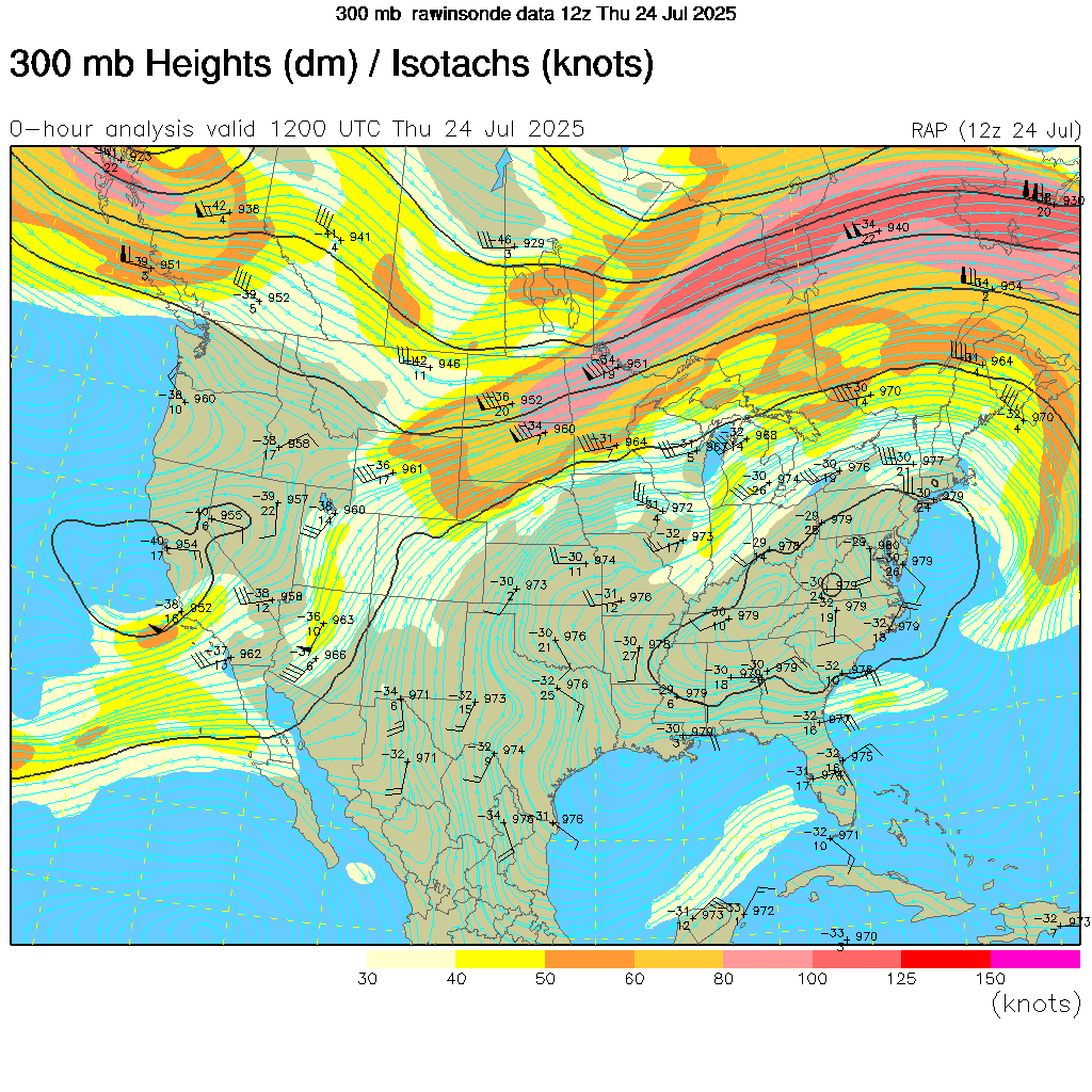
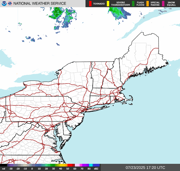
The surface chart shows we have that Cold front at sitting over New England back down through New Jersey, Maryland and Delaware . This is in the process of washing out. But it is separating a truly tropical air mass from slightly cooler air to it's north. The surface chart also shows a mostly stationary front sitting just north of the US Canadian border.


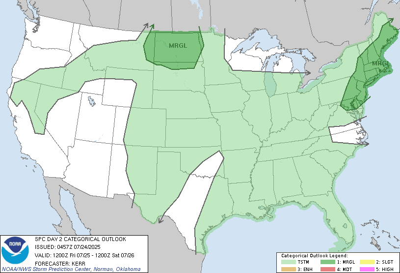
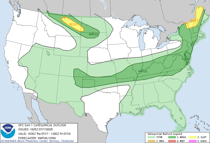
Far northern parts of New York State and northern New England Will likely see some isolated showers developed this afternoon. These will be very slowly trying to push south. All of this is going to set up the region for some scattered rain showers and thunderstorms. Some of these storms will be strong too severe, We have the potential of damaging wind gust, frequent vivid lightning and heavy torrential downpours. Not everyone will see these storms But if you do They will be extremely slow moving and will be capable of dropping a lot of rain over your location This could lead to localized low level and urban flooding. The storm prediction center has a Marginal Risk for severe weather over a large part of the region.


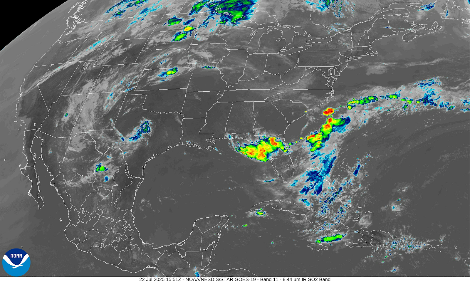
On the infrared satellite we can see a Mesoscale Convective System (MCS) (Organized area of thunderstorms) sitting over the Midwest. This is going to slowly work our way , bringing scattered rain showers and thunderstorms for tomorrow.. Northern New York and Northern New England will see less in the way of rain. The region south of there will see more in the way of rain and isolated thunderstorm. As all of this rides the frontal boundary, Some of these storms will be strong too severe.

Tomorrow New York State and New England will feel noticeably cooler and less humid. The rest of the region will still be experiencing some heat and humidity. Then for Thursday night and into Friday we're going to see low pressure develop near the coast. This will bring rain showers some of them moderate to heavy for eastern Pennsylvania Maryland Delaware Into southeast New York State and southern New England. The rest of the region should be fairly dry with comfortable conditions. Friday evening this low pressure is going to start to move away from the region, Allowing for clearing skies with rain winding down. The good thing this is going to finally drive all of this tropical humidity and heat out of here.

This will clear the way for a great weekend With plenty of sunshine and very comfortable temperatures. Starting Saturday the entire region will be under high pressure that will provide plenty of sunshine and dry weather with low humidity and comfortable temperatures and low humidity. High pressure will remain in control for Monday and Tuesday providing very tranquil weather. Then for Wednesday we will be watching another area of low pressure approach the region.
Have a great day. I will most likely not be posting tomorrow, as I have a lot of stuff I have to do