
The surface/radar chart show high pressure overhead and dry conditions.
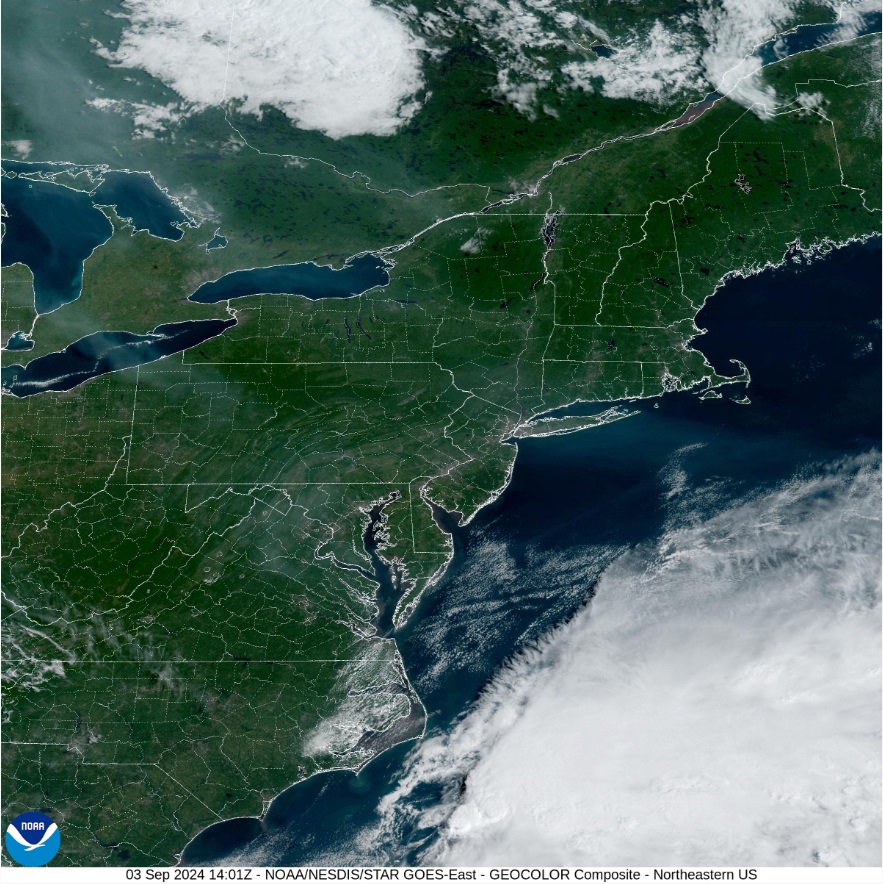
The satellite shows clear skies with lots of sunshine across the region.

Today will be seasonally cool with very low humidity. Tomorrow will be mirroring image of today, but
temperatures might be a bit warmer. Thursday will see the high start to push to
the east; but we will still stay dry. With
the high pushing east, a southern flow, will allow temperatures to climb to seasonal
levels. During the next few nights, with
mostly clear skies, nighttime lows will be very chilly.
Friday into the weekend…
On Friday we will watch a frontal system push into the Great
Lakes. Ahead of the attached cold front, temperatures will continue to rise
across the region. As this cold front gets closer Friday night, rain showers
will start to move into western parts of the region. There will also be a coastal low coming up the
Coast. Right now, the timing of the front, looks to keep this off the coast. The cold front will continue to push slowly
across the region on Saturday, reaching eastern New York State and eastern
Pennsylvania later in the day on Saturday into Saturday evening. The front will
be moving over the Middle Atlantic and New England Saturday night into Sunday
morning. The front looks to be pushing into the Gulf of Maine by Sunday
afternoon.
Over the Weekend, the front will bring widespread rain and
scattered thunderstorms. A few of these storms could be strong to severe, with
gusty winds, frequent lightning, and locally heavy downpours. Saturday night
and Sunday winds will become a bit gusty. As the cooler air moves over the
Great Lakes lake effect rain showers will be possible downwind of Lake Erie and
Lake Ontario.
Monday and Tuesday, high pressure once again will be over
the region. temperatures will be cooler, a trough near by could cause a few
isolated showers.
No comments:
Post a Comment
Thank you for taking the time to comment, I will answer as soon as I can.