
I’ve noticed a few looking at the last post and a couple leaving comments. If you want to see me continue to make more post, I need more eyes reading this blog, so pass the word and campaign your friends to follow this blog. it takes a lot of time and effort to make these forecast and weather post.

Milton is over his first eyewall replacement cycle, now he is starting the intensification process again. At the 2:42 pm update from the National Hurricane Center, his winds are now 155 mph, with minimum central pressure of 923mb. Making him a strong category four hurricane. He is moving north northeast at 8 mph.


It is
quite likely Milton will regain category five status (he is just one mph shy
of that right now). We can expect to see
fluctuations in intensity over the next 12 to 18 hours; as it is difficult for
hurricanes to maintain category 5 status for extended time periods. We will
have to see if Milton undergoes any more eyewall replacement cycles. If he does he would weaken and increase in overall size. Regardless, he is a dangerous hurricane, not to be taken lightly. I do think
Milton has more surprises up his sleeve, one of these could be him making
landfall at a higher intensity than is being forecasted, time will tell.

As he
approaches Florida late Wednesday, upper-level windshear will increase, but
right before he makes landfall, he is going to pass over a loop current with very
warm Sea Surface Temperatures (SST) of 86°F to 88°F. This should allow Milton
to slowly start to weaken as he approaches the Florida Peninsula, landfall is
still looking to be Wednesday night or early overnight on Thursday. So, the
odds are he will still be a category four or maybe category three hurricane at
landfall. Landfall is still looking to
be somewhere near Tampa Florida. How quickly he is moving will determine how fast he weakens moving across Florida, heading for the Atlantic.
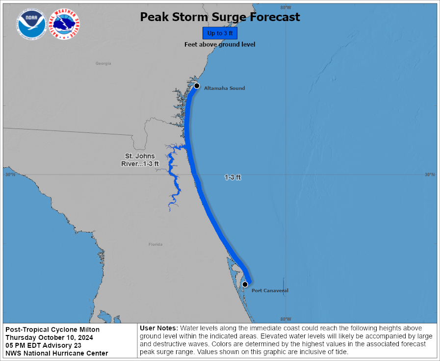
The NHC has
a Hurricane Warning and a Storm Surge Warning up for a large part of the Coast
of Florida. Tampa Bay and points south are going to experience significant
surge of 6-12 feet, with some spots seeing 15+ feet. Storm surge will still be a huge issue north of point of landfall as well. If you’re caught in this surge,
it is considered un-survivable, so those along and near the coast should heed
evacuation orders and get out of Milton’s way.


Besides devastating
surge, Milton is going to bring a lot of heavy rain. 8 to 12 inches of widespread
rain will bring the risk catastrophic flash flooding, parts of central Florida
could see in excess of 15 inches of rain. As we just saw in the catastrophic flooding from
Hurricane Helene in Appalachia. These types of tropical rain events are life
threatening. So, keep that in mind, especially if you’re in a food prone area.
Milton is
the fifth tropical cyclone to make a U.S. landfall this season. With over six
weeks left in the official Atlantic hurricane season, along with very warm SST
in the Atlantic Basin, it is possible we will not only see more tropical
cyclones develop, it is possible we will see more make a U.S. landfall before
the end of the season.
👍 thanks Rebecca!
ReplyDeleteyou're welcome
DeleteThank you. Glad I found you again
ReplyDeleteyou're welcome
DeleteThis comment has been removed by the author.
DeleteGlad to have found you! Certainly looks like Milton is no joke. It’s been incredible watching it form!
ReplyDeleteyou're welcome
DeleteFound you! We are spreading the word!
ReplyDeletethanks
DeleteGlad to see you posting again! Definitely missed them. Hope all is well.
ReplyDeletewe're doing fine
Deleteas Monty Python says, "now for something completely different - first snowstorm on Mt. Washington occurred yesterday!
ReplyDelete