
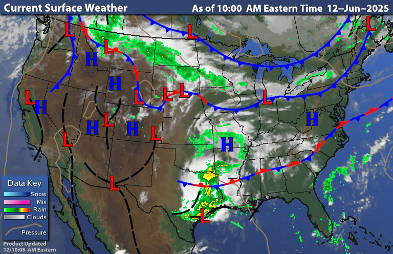
Today's surface map.
The southwestern flow ahead of the weak cold frontal boundary over New York State into New England Is bringing above average temps and higher levels of humidity for area south and east of the boundary. While north and west of the boundary the west -northwest winds will mean temperatures will be slightly below average to average, with comfortable humidity levels. Those north of the front also have a chance for a few isolated rain showers.The front will be weakening as it continues to drop south. By the time it gets into Pennsylvania this evening There shouldn't be much left of it. But It could bring a few rain showers and maybe a thunderstorm or two for parts of Pennsylvania into New Jersey, Maryland and Delaware.

That Canadian wildfire smoke is still going to be causing issues today, The smoke Smoke will cause a haze in the sky. Air quality will be basically moderate with a chance for some of the smoke to reach the surface from time to time. So those with breathing issues and heart conditions might want to limit time outdoors.
Tomorrow is gonna see the cold front stall over Pennsylvania and across New Jersey with this, will be a chance for scattered rain showers and very isolated thunderstorms across Pennsylvania into the northern Middle Atlantic and New Jersey. The thunderstorms should be garden variety as the setup doesn't support severe weather. The showers across New York State and New England should be isolated. Parts of the region will still be experiencing moderate air quality issues.
Over the Father's Day weekend


The northern half of New York State and northern New England could be completely dry But I can't rule out a chance for a few isolated showers here and there. But that should be the extent of it. The southern half of New York State and central into southern New England will have a chance for a few showers and and maybe a few thunderstorms. Those with the greatest chance of scattered showers and thunderstorms will be across Pennsylvania (especially southern Pennsylvania) Maryland , Delaware into New Jersey as y'all will be closer to the stalled out front. The Father's Day weekend won't be a washout and showers should be fairly short lived. So just keep an eye on the sky if you're gonna be doing outdoor activities and barbecues.
Monday we'll see low pressure approach along frontal boundary and move through bringing scattered showers and thunderstorms to the region. For Tuesday and Wednesday shortwave troughs will be moving through bringing a threat for scattered rain showers and isolated thunderstorms. Bringing scattered rain showers On Thursday a cold front will move to bringing widespread scattered rain showers and thunderstorms. Overall temperatures and humidity levels for next week look to be higher than they are this week.
No comments:
Post a Comment
Thank you for taking the time to comment, I will answer as soon as I can.