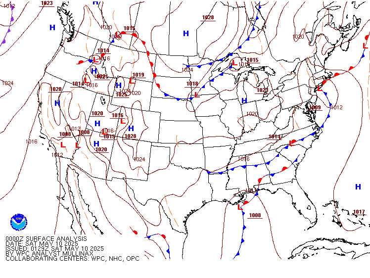
The surface
chart shows the strong cold front moving through the Northeast, with deepening
low pressure moving along it. This is bringing rain/snow showers and gusty
winds. The air coming in behind the front is very cool. New York State, Vermont,
New Hampshire and Maine, will see rain mixing with snow, Northern parts of
these areas could end up with an inch or two of slushy snow in the mid and
upper elevations, those on the summits of the Adirondacks, Greens, and Whites,
could end up with several inches by tomorrow morning. Snow will be elevation-dependent.
The farther south you are the more
scattered the rain/snow showers will be.
This chilly
air with scattered rain and snow showers will stick with us through Wednesday. Then for Thursday high pressure will build in.
This high pressure will be overhead through Monday, providing plenty of sun and
dry conditions, temperatures will warm and become seasonally mild.
So just a
few days to put up with this dreary weather, before an extended warm up.


Glade to see you're back! We don't need that steenken' Facebook.
ReplyDeleteWe will see! Please yet others know, this is where I am.
ReplyDeleteThank you!
ReplyDelete