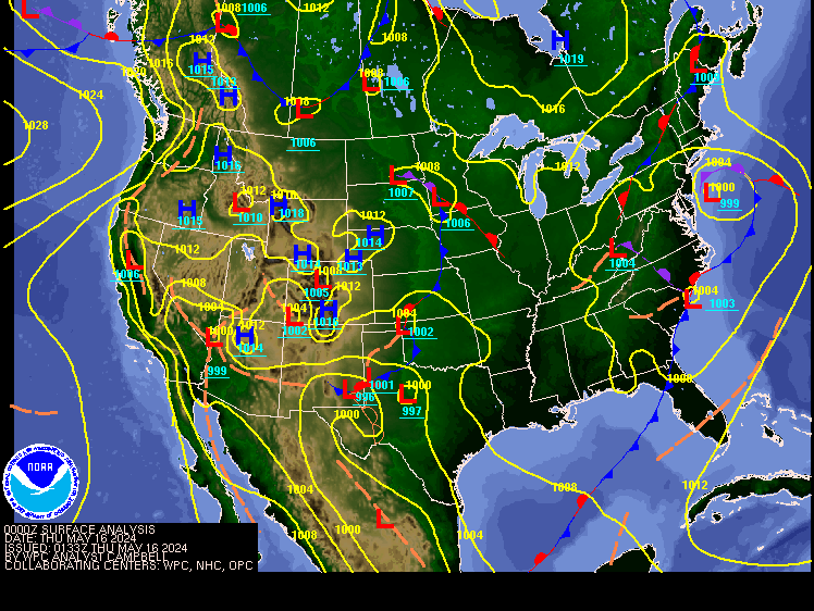
Todays
Northeast weather discussion…
That long stretch
of well above average temperatures, spoilt many of us. The cold frontal passage
brought some rain and even a few thunderstorms, but the rain wasn’t all that
much, and didn’t do anything for the drought conditions plaguing parts of the
region. Behind the cold front that came
through we seen the days start cool, but then we warm up during the afternoon.
Today is
going to be dry. But a weak cold front approaching will bring the chance for light
rain showers into western parts of the region this evening. This front is
moisture starved so it won’t have a lot to work with when it comes through. The
front will come through Saturday into Sunday. Winds will be breezy with the
frontal passage. There will be a chance isolated rain showers and high
elevation snow showers for Saturday into Sunday. The rain could be a bit more substantial
across northern New York State and northern New England, as these areas will be
closer to the low pressure. Those downwind of Lake Erie and Lake Ontario will
be dealing with scattered lake effect rain/snow showers. This lake effect
shouldn’t be too heavy, more of a nuance than anything.
High
pressure will build in for Sunday allowing for sunshine. Most of Sunday should
be dry. This dry stretch looks to last into Thursday. Next week the high
pressure will start to drift east, a warm front will bring a strong southern
flow that will bring a return of very warm temperatures for Tuesday into
Thursday. Nights into early mornings will be quite cool, so there will be frost
issues. Then we will see another weak cold front approach for Halloween
Thursday. Depending on timing, this could set off some rain showers across
western parts of our region for Halloween, along with cooler temperatures. The
front would continue to move through on Friday, bringing the risk for isolated
to widely scattered showers.
We’re not
done with above average temperatures I expect the first half of November to be
overall seasonally warm.
The Drought
In spite of the wet summer. The region needs
the rain, many parts of the region haven’t seen a lot of rain since the end of
August. So, rainfall deficits, some of these deficits are over 10 inches;
leading to a large swarf of moderate, severe and even extreme drought.
This week
Last Week
The U.S.
Drought Monitor Map released yesterday, shows extreme drought in the
southwestern corner of the Northeast. Severe drought expanded in Pennsylvania,
New Jersey, Delaware, and Maryland. Moderate drought increased in coverage in
areas closer to the coast from Maryland up to Maine. Abnormal dryness expanded
in Maine, New Hampshire, Maryland, and West Virginia.
The map shows 1% of the Northeast in exceptional drought, 4% in extreme drought, 7% in severe drought, 18% in moderate drought, and 35% as abnormally dry compared to 1%, 4%, 5%, 14%, and 38%, respectively, last week
Tropical Atlantic.
The Atlantic is quiet right now, but we will have to keep an eye on the Caribbean for the middle to end of next week. Conditions look to be favorable, so we will see!


Thank you. I'm sad to see the warm and dry conditions continuing on into Nov.
ReplyDeleteHopefully we see the pattern change during the 2nd half of November.
ReplyDelete