
In this segment, I will go into a little more detail on a subject that is on everyone's minds lately... thunderstorms. There are four main types of thunderstorms, single cell, multicell clusters, squall lines, and the infamous supercell. The difference between the types of thunderstorms has nothing to do with their lifecycle. instead it has to do with the amount of cells in the thunderstorm and how they are positioned. Now, I'm sure someone is saying ...So what, there are four kinds, why should I care? I feel having a better understanding of the various types of thunderstorms can help you distinguish between severe and non-severe thunderstorms, this will help you keep yourself and your family safe.
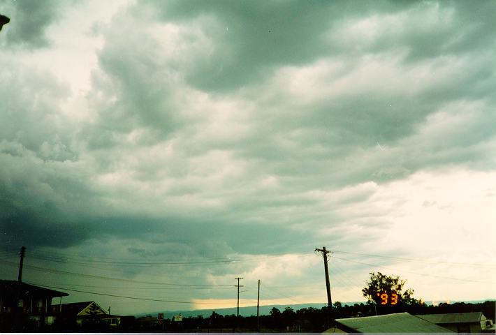
The single-cell
A single cell thunderstorm also can go by two other names: A pulse thunderstorm or an airmass thunderstorm. This type of storm only has one main updraft. It's a thunderstorm that goes through its life cycle and dissipates without creating any other cells, the term "cell" refers to the number of principal updraft points in the storm. Single-cell thunderstorms usually last between 20-30 minutes. They are usually poorly organized and seem to occur at random times and locations, making them difficult to forecast. Single-cells are rarely severe, They may contain heavy rain and can also produce occasional downbursts, small hail, and (rarely) weak tornadoes, storm chasers call these kind of tornadoes landspouts, but these are very rare in single cell storms. However, there is a special class of single cell that is always severe, I will discuss this special class later.

Single cell thunderstorm
Multicell Cluster Thunderstorms:
Multicell thunderstorms are groups of cells adjacent to one another that move together, which are all in different stages of the lifecycle. Because they are in different stages of development they have a much longer life span that a single-cell. In my last blog post I talked about a thunderstorms lifecycle; in a multi-cell it works the same way, with a slight twist. Here's how it works. As cumulus develop, one of the cumulus begins to grow faster than the other cumulus; eventually it will produce some light precipitation. As this precipitation and corresponding downdraft descends it cools the air around it (evaporative cooling). The evaporative cooling accelerates the downdraft, as the downdraft hits the ground it spreads outward. Sometimes this outward movement of air can act as a wedge as the colder out flowing air undercuts the warm moist air in the regions surrounding the main cell. This can have the effect of intensifying updrafts in the surrounding cells nearby. In-turn, These cells move into their mature stage as the new cell sends down precipitation it becomes the dominant cell. Simultaneously, the newer cell produces downdrafts that stops the updraft of the original cell. This cycle will keep going as long as atmospheric conditions allow it. If you've ever watched on radar when there is a lot of thunderstorm; you might have noticed a group of cells will be moving one way, then all of a sudden move in another. This is because of the unusual structure of multicells. This happens, because the developing and dissipating process causes the storm to have a motion veering slightly at an angle to each cells line of motion. On average, multicell cluster storms last for about 20-30 minutes, however the whole line may persist for several hours. Multicell thunderstorms can become severe. All types of severe weather can be experienced from severe multicells including giant hail, severe winds and tornadoes.

Squall lines:
Squall line thunderstorms can also be called multicell line storms. These systems of thunderstorms arranged in a line. Sometimes this line can extend laterally for hundreds of miles. At first glance, a squall line looks like a long system of multicell thunderstorms, with cells developing on one end and dissipating on the other. However, the storm looks like on large thunderstorm with a large anvil extending well ahead of the main body. The approach of a squall line is a astounding sight. As it approaches, the observer will normally see a very dark shelf cloud with an extensive precipitation cascade. A shelf cloud is a low, horizontal wedge-shaped cloud. that is attached to the base of the parent cloud. If you're facing the squall line a strong warm wind will form at your back, this is the inflow updraft feeding the storm. As the squall line gets close, there will be a brief lull in the wind soon to be replaced with a sudden blast of wind from the storm in the opposite direction. this is the outflow downdraft. Sometimes Bow echoes can form within squall lines, bringing with them even higher winds. Bow echoes get their name because of what they look like on weather radar. A bow echo brings with it very high and often damaging winds. An unusually powerful type of squall line is called a derecho, this an very intense squall line that travels for several hundred miles. There is one more thing I should mention. Some of you may have heard the term mesoscale convective system (MCS); an MCS is just a fancy name for is a complex of thunderstorms that becomes very organized on a scale that can impact several states at the same time. squall line systems often form within a MCS. Now on to the last type of thunderstorm.

A shelf cloud

The Supercell:
This is the special class of single cell thunderstorm I mentioned above. Supercell thunderstorms are the largest and the most severe of all types of thunderstorms. Most of the large tornadoes and giant hail events you've heard about over the last month were spawned by supercells. The reason why supercells are the most severe is because of their rotating structure. when a thunderstorm spins it is called a mesocyclone. A mesocyclone is basically an area of extremely strong updrafts which spin as the air moves upwards. The supercells are one of nature's most destructive but beautiful constructs. I think I will stop for today. There are two main types of supercells that I will explain in the next installment.

A supercell in Oklahoma
I hope you found this post both enjoyable and informative. I feel, the more you understand about the weather; the more you will be able to appreciate the wonder and beauty of nature. Even though thunderstorms can be destructive they are also very beautiful at the same time.
Rebecca Ladd.
Thank you for posting this....When I'm on the boat, I will know what to look for.
ReplyDeleteThanks, Andy. Your blog has really helped me. I've taken the SKYWARN Spotter class and recert but always felt something was missing. I think I have a better handle on things now.
ReplyDeleteThank you.....when I decided to write this series , I hoped that it would help everyone in identifying what they were seeing. To many times, I've seen where people just did not understand what was coming their way. Anyway, I hope you find the other segments as useful.
ReplyDeleteRL