
Welcome to the Radar and Satellite Page
National Weather Service National Radar.
Radar help image:
How to use
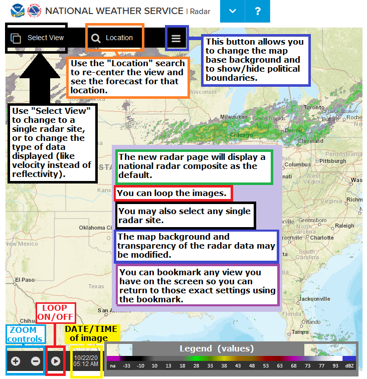
Below, A few instructions on how to use:
How to Zoom in/out:
Use the scroll wheel on a mouse
Pinch on a touch screen device
Click the "+" and "-" buttons at the bottom-left of the page
How to Pan (slide the map around):
Hold down the left mouse button (MB1) on a PC and drag the map around
Swipe on a touch screen
How to Loop the image:
Press the "Play" button (arrow) at the bottom-left near the (+/-) zoom controls
caution! The + and - buttons are zoom controls and do not control the speed of the loop
The date/time of the image is displayed at the bottom-left next to the loop/play arrow
How to Select a specific/single radar site:
Click on "Select View" (at the very-top left - has an icon which looks like two screens on top of each other)
Click on “Radar Station Products” (not the adjacent down-arrow)
Zoom in/out, pan around, if desired
Select a large purple/blue dot (radar site)
The date/time of the most recent image is displayed at the bottom-left next to the loop/play arrow
Caution! Clicking once on the radar image/map might unintentionally send you to a different radar site. To pan around, hold the mouse button down.
How to View different radar data for a single radar site:
Click on the second down-arrow on the top-left -- not the arrow which is directly next to the Radar Site Identifier (KCCX, KPBZ, etc.). This arrow usually has a label of "BREF.RAW" = Super Resolution Base Reflectivity, raw/unfiltered)
Select the type of image/data you wish (ex. "Super Resolution Base Velocity")
The date/time of the most recent image is displayed at the bottom-left next to the loop/play arrow.
NWS Northeast Radar Loop

WeatherForYou Northeast radar.
WeatherForYou Great Lakes radar.
Northeast Visible Satellite

Northeast Infrared Satellite

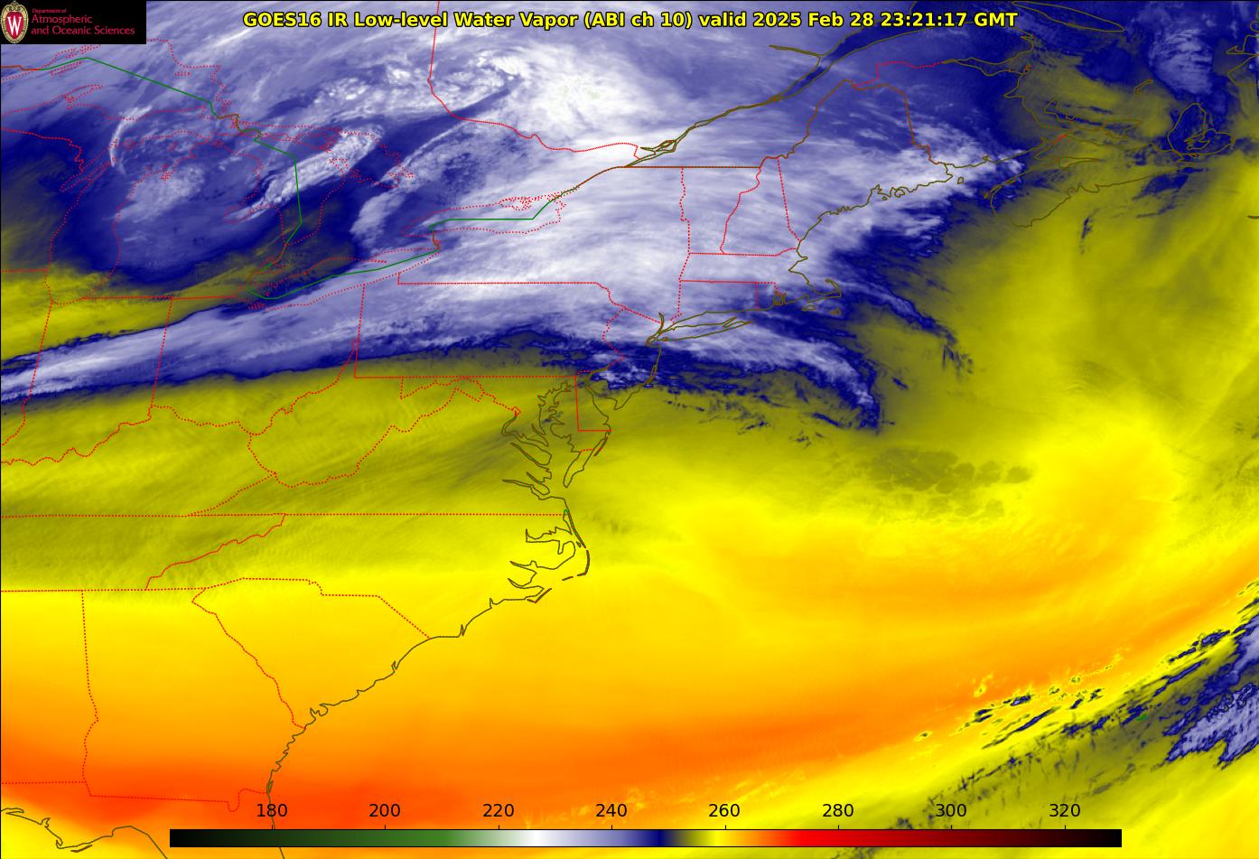
Northeast Water Vapor Satellite
Loop of Composite Reflectivity
Southwest Canada and Northeast Composite Reflectivity loop
North American Composite Reflectivity
US Echo Tops
| Satellite with surface data | Visible with surface data | Composite Satellite Image |
 |
 |
 |
| GOES East Vis | GOES East WV | GOES East IR |
 |
 |
 |
Web Policies & Notices
No comments:
Post a Comment
Thank you for taking the time to comment, I will answer as soon as I can.