 Note: The expiration time in the watch graphic is amended if the watch is replaced, cancelled or extended.Note:
 Click for
Watch Status Reports.
SEL3
URGENT - IMMEDIATE BROADCAST REQUESTED
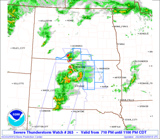
Severe Thunderstorm Watch Number 263
NWS Storm Prediction Center Norman OK
220 PM EDT Fri May 16 2025
The NWS Storm Prediction Center has issued a
* Severe Thunderstorm Watch for portions of
District Of Columbia
Western and Central Maryland
Southwest and South-Central Pennsylvania
Northern Virginia
Far Northern West Virginia Panhandle
Coastal Waters
* Effective this Friday afternoon and evening from 220 PM until
1000 PM EDT.
* Primary threats include...
Scattered damaging wind gusts to 70 mph possible
Isolated large hail events to 1.5 inches in diameter possible
SUMMARY...Thunderstorm coverage is expected to increase across the
region this afternoon. Environmental conditions support strong to
severe storms capable of damaging gust and large hail.
The severe thunderstorm watch area is approximately along and 60
statute miles north and south of a line from 30 miles west northwest
of Wheeling WV to 10 miles east southeast of Baltimore MD. For a
complete depiction of the watch see the associated watch outline
update (WOUS64 KWNS WOU3).
PRECAUTIONARY/PREPAREDNESS ACTIONS...
REMEMBER...A Severe Thunderstorm Watch means conditions are
favorable for severe thunderstorms in and close to the watch area.
Persons in these areas should be on the lookout for threatening
weather conditions and listen for later statements and possible
warnings. Severe thunderstorms can and occasionally do produce
tornadoes.
&&
OTHER WATCH INFORMATION...CONTINUE...WW 260...WW 261...WW 262...
AVIATION...A few severe thunderstorms with hail surface and aloft to
1.5 inches. Extreme turbulence and surface wind gusts to 60 knots. A
few cumulonimbi with maximum tops to 500. Mean storm motion vector
27035.
...Mosier


 @NWSSPC
No comments:
Post a Comment
Thank you for taking the time to comment, I will answer as soon as I can.