
Monday 's severe weather included two tornadoes.
The National Weather Service confirmed a EF0 with maximum winds of 75 mph touched down near Limestone in Clarion County Pennsylvania. The tornado tracked almost a quarter of a mile with a width of 25 yards.
The National weather service also confirmed a EF1 tornado with winds of 110 miles an hour, Track Length of 2.4 miles with a maximum width of 600 yards, near the town of Great Valley in Western New York State. This high-end EF1 damaged several houses and uprooted many trees.
I guess there was another tornado Yesterday in Beekmantown in Clinton County New York. This was confirmed to be a EF0 with 75 mph winds. It had a track of half a mile with a width around 100 yards.
Here's a look at current surface chart and radar.


The surface chart and radar shows yesterday's cold front has pushed South and east with no rain anywhere across the region,As high pressure is setting up. The frontal boundary is up in Canada. So today will be mostly dry and is gonna feature seasonal temperatures and humidity. But the humidity will start increasing tonight and temperatures will stay mild. I can't rule out a few very isolated showers across northern New York state into new England, but those will be the exception to the rule.

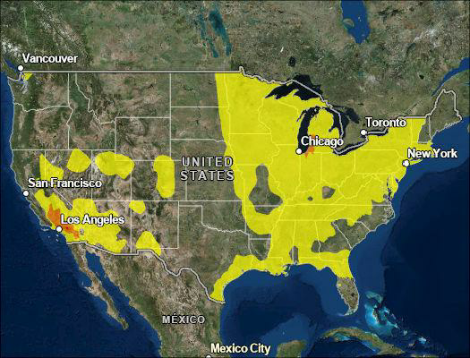
The big issue today is going to be Canadian wildfire smoke. As the west to northwest flow brings it in out of western Canada. The smoke is gonna be like what we experienced over the weekend, it Will create breathing issues for hose who are sensitive. We could smell some of the smoke from time to time.
Smoke will be overhead tomorrow as well, so there will be air quality issues. Tomorrow will also see the heat return. There will be a weak frontal boundary Beginning to drop out of Canada and hanging over New York state over into new England this could be the focus for a few isolated rain showers mainly across the southern tier of New York State into far northern Pennsylvania. But the vast majority of us should be dry. Looking at the infrared satellite image we can see the clear skies past the Ohio Valley and Great Lakes. But it does show a disturbance in the Northern Plains that will become the focus of our weather here in the Northeast later this week. As for temperatures across the region, North of the boundary temperatures will be running seasonal with those south of the boundary seeing above average temperatures.

No comments:
Post a Comment
Thank you for taking the time to comment, I will answer as soon as I can.