
Start of another heat wave!
Today is going to see a lot of heat and humidity move into the region. Parts of the region is also dealing with a bit of Canadian wildfire smoke. The surface chart shows The high pressure has moved further off the coast allowing for that southwest flow that is going to bring in higher dew point and warmer temperatures. We can also see the cold front approaching from the west. Radar and satellite show not a lot going on over the Northeast and Middle Atlantic But the radar does show storms and rain. approaching from the north and west, Some some of this could be reaching the ground in northern Maine.


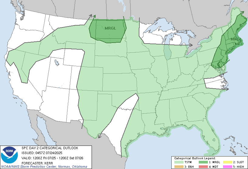
Temperatures and dew point are going to continue to climb today. During the course of today We will see clouds increasing ahead of the approaching frontal system. It will stay warm and humid with winds increasing this evening and tonight. As the system gets closer we could see some isolated showers and Isolated thunderstorms break out late tonight and over the over far western parts of region. The showers and storms will become scattered as we approach and get into friday morning over western parts of the region and northern New York State. Tomorrow we'll see the heat and humidity become very oppressive with temperatures in the upper 80s and 90s and dew points in the upper 60s into the 70s. So remember your hot weather safety rules and make sure you drink plenty of water. As the day goes on the showers and storms will be slowly dropping south and east across the region reaching the I-95 corridor In southern New England by the evening. As all this moves into the hot and humid tropical air mass Some of the storms will become strong to severe with the danger of gusty damaging winds, heavy downpours, and frequent lightning there will also be the risk for some hail and I can't rule out a few isolated tornadoes. The best timing for severe weather will be from around noon into the evening. The storm prediction center (SPC) has a Moderate Risk for severe weather. With the high humidity there is the risk for some of these storms produce torrential downpours that could lead to localized flooding.
By friday evening night The front should have pushed off the New England Coast It will be starting to stall near the Mason Dixon line. New York state and new England Should Brain ending By friday night But those closer to the frontal boundary we'll see the risk for some showers and thunderstorms continue for Friday night and Saturday. For Saturday night and Sunday morning the stationary front boundary will move back north as a warm front Front will return the risk for isolated rain showers and thunderstorms across the region. The humidity will be still rather high So there will be the risk for some heavy downpours. Then during the afternoon and evening a cold front will be approaching and moving in The front will increase the risk for scattered showers and thunderstorms across the region There will be the risk for some straight line damaging winds, heavy rainfall and frequent lightning. Monday we'll see So we'll still be At risk for some isolated rain showers and thunderstorms Then on Tuesday another cold front is gonna approach and move through. With the frontal passage we can expect scattered showers and thunderstorms. Wednesday we will be near a trough once again so we will be at risk for isolated and thunderstorms. Thursday will feature the risk of rain showers and thunderstorms as another frontal system approaches region.
All this heat and humidity makes me wonder when you're going to do a Fall outlook because I'm so ready.
ReplyDeleteI did a post on August a little while ago, as far as a fall outlook I will wait until we get closer to September.
DeleteThank you. I just saw your August update now. Sometimes I have to refresh several times to get your most recent posts to show up.
ReplyDelete